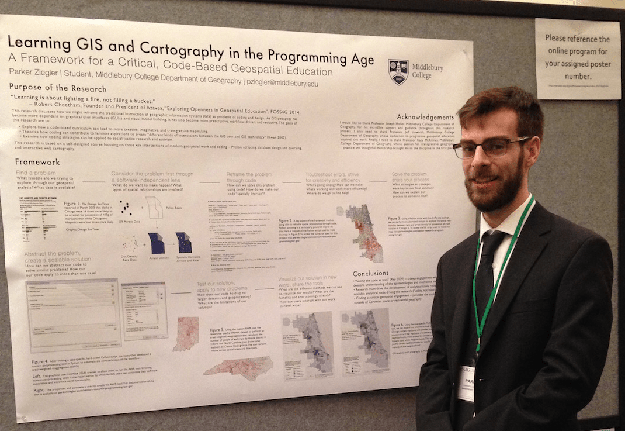
Presenting at the American Association of Geographers (AAG) Annual Conference
The research process can so often feel like a solitary experience. Particularly working in the realm of technical geospatial applications and assorted programming languages, I often find myself deep down the rabbit hole, following links on endless Stack Exchange and Github pages to their very ends. And while I enjoy this process – the careful search for a technique or a block of code or an idea that will help me solve my problems – I have also noticed how it has brought me further from the original purpose of my research. From the beginning, I have wanted my work to serve as a pedagogical tool, a framework for how we might go about teaching GIS and cartography with a keener eye to the role of both code and critical feminist theory in this learning process. And in order to do that, I needed to take an important step during this, the middle of my semester – presenting my work.
And what could be a better platform than the American Association of Geographers (AAG) annual meeting? For those of you unfamiliar with the AAG, take a moment to picture over 9,000 geographers descending upon a single city for five days of lectures, panel discussions, poster presentations, demonstrations, and utter geographic bliss. AAG is one of the largest conferences for geographers in the world, and offers the unique opportunity to engage with the diversity of work being done in the scholarly geographic community. For an undergrad like myself, it's also an opportunity to get to know my chosen discipline outside of Middlebury's walls (including all of the politics, arguments, and challenges that make it rich). I was thrilled to have the support of my research advisor, Joseph Holler, the Middlebury College Department of Geography, and the Undergraduate Research Office to present my work.
Owing to the content of my poster, I was placed in the GIS & Technology Poster Session on Day 2 of the conference. This gave me a four-hour block to field questions, ask questions, meet fellow researchers interested in GIS, and contribute my few, small ideas to the broader geographic community. To my delight (and surprise), there was a significant amount of interest in my poster. The vast majority of attendees were GIS educators, many of whom had been struggling themselves with this quandary of bringing code, theory, and GIS together in a harmonious way. A lot of educators seemed to agree with my argument that we need to move away from prescriptive, technique-driven pedagogical strategies (i.e. here's where the buttons are and here's how to push them in the right order) towards a more applied approach that values multiple solutions, creative design, critical methodologies, and the integration of GIS work with broader social justice work. But they also pushed back, contending that this learning style feels to many of them like a still unattainable dream.
In particular, a lot of educators relayed that their students tend to have strong preconceived notions about their abilities to code, all of which play into how they do in the classroom. While some students love the creative problem-solving inherent in programming (and thrive doing it), others shut down at the thought of writing even basic commands. It is this dichotomy that makes bringing code into the GIS lab such a difficult and messy experiment, particularly when its introduction often creates and reproduces broader structures of dominance in the academic world (i.e. quantitative methods > qualitative methods, positivism > multiple truths, reductive theoretical approaches > descriptive theoretical approaches, solutions > critique).
I also spoke with other educators about the role of code as a social notion connected to specific gendered, racialized, and class binaries. When many of us think of code, we may initially jump to two conclusions: 1) that those writing code are (primarily) young, white, privileged men, and 2) that code is about capital, Silicon Valley, Google buses in the Mission – in short, proprietary, closed-source development. Depending on how you identify, this social understanding of code can (obviously) feel exclusionary. The private sector certainly hasn't done much to combat this stereotype – in 2014, 61% of Google's workforce identified as white, and 70% identified as male. Only 2% identified as black, 3% as Hispanic, and 30% as female (PBS Newshour). Part of my research, then, has also been to reflect on how introducing code into the way we teach GIS will necessarily involve an engagement with these disparities, with the racialized, gendered, and classed dimensions of code.
I also think changing this paradigm will entail changing the contexts for, and the spaces of, coding. Towards this end, I think GIS is a fascinating place to start. First, GIS (unlike, say, software development) is not an ends in and of itself, but rather a means of understanding data through a spatial lens. Its role is to influence the way people think, act, and understand their world. In this way, GIS (and by extension, code) needs theory to obtain meaning; in the same way, theory needs GIS (and code) to obtain application. Second, I think code and GIS have tremendous potential for social justice work. A few groups are getting on to this now (e.g., Azavea's Summer of Maps program, UChicago's Data Science for Social Good, Code for America), but it seems to me (and to the educators I spoke with) that there is still an unexplored relationship between code and non-profit work. Finally, GIS is moving toward the direction of open. And what I mean here is that the development community in the geospatial world is latching onto the idea of sharing not only their tools, but their manuals, their expertise, and their experience with anyone possessing an internet connection and a curiosity. This type of open, inclusionary space (which still, of course, can be exclusionary in other ways) is getting towards a new paradigm of code, one that encourages collaboration, improvement, improvisation, and shared reward. And I feel that it is within this space, in the bridges between code, GIS, and social justice, that a new paradigm of coding might emerge – a new praxis that values multiple solutions, creative design, social impact, and reflexive practice. This is the type of space that I dream of coding in one day.
Ultimately, I couldn't have been happier with my experience at AAG. Being around geographers for 9 hours a day confirmed that I have found my disciplinary home, that I really would rather be no place else. If you've gotten all the way through this piece and you're wondering 'Who the hell planted all of these crazy ideas in Parker's head?' check out work by a few of my favorites (who I saw speak at AAG), including Mei-Po Kwan, Sarah Elwood, Nadine Schuurmann, Agnieszka Leszczynski, and Matthew Wilson.